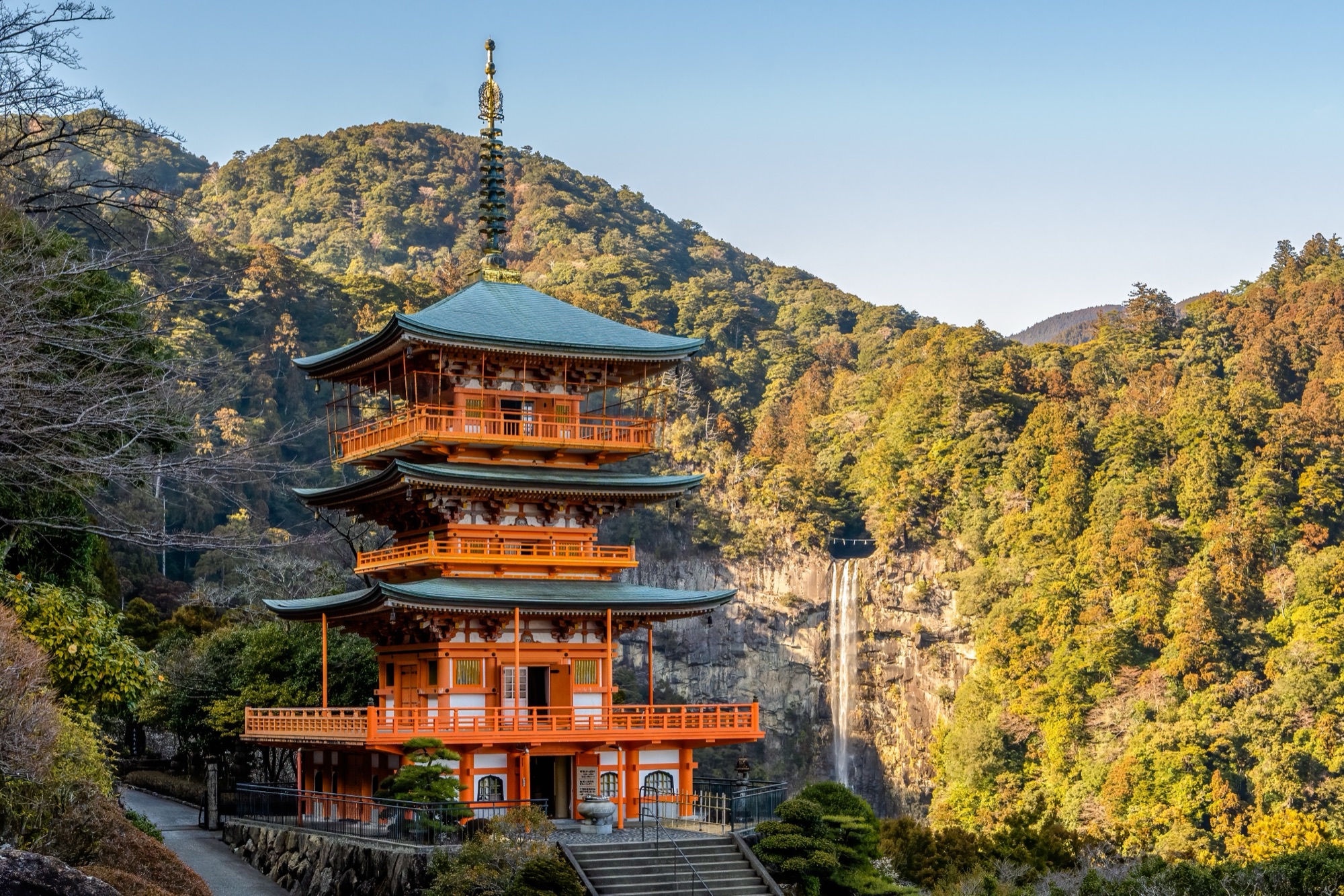
Kii Peninsula, Japan · ~73 km (Nakahechi Route)
The Nakahechi Route crosses cedar mountains on the Kii Peninsula, linking the three Kumano Grand Shrines over four to six days. Steep climbs, torii gates, shrine grounds, and village inns shape the walk. Carried meharizushi gives way to ryokan meals, grilled ayu, wild boar broth, and maguro tuna at Kii-Katsuura.
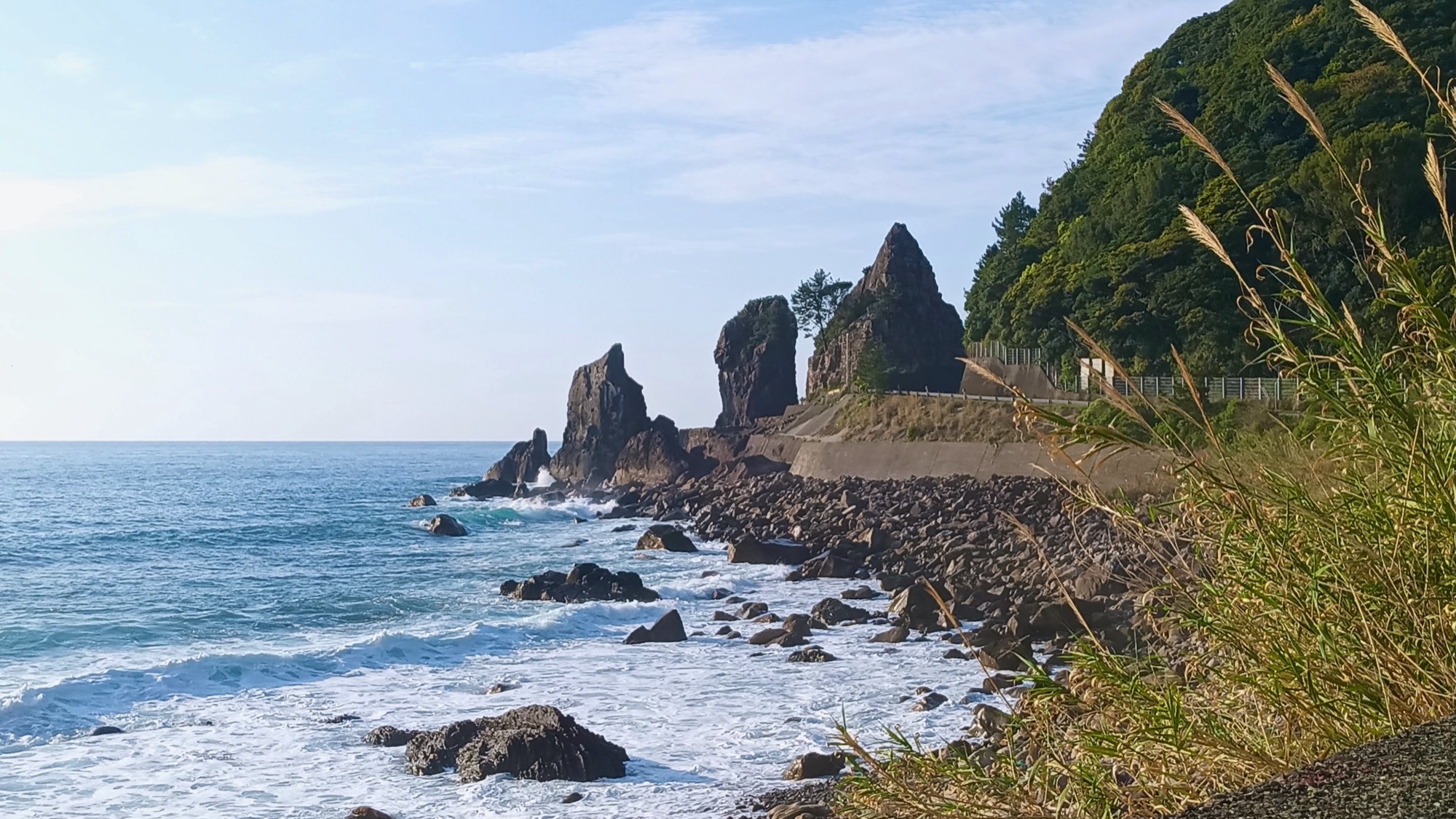
Shikoku, Japan · ~1200 km · 88 temples
The Shikoku Pilgrimage circles the island through four prefectures and eighty-eight temples, combining temple visits, mountain roads, coastal plains, and lodging that shapes the next meal. Convenience stores supply onigiri and baked goods; inns serve regional food, from Tokushima sudachi to Kochi bonito and Kagawa Sanuki udon.
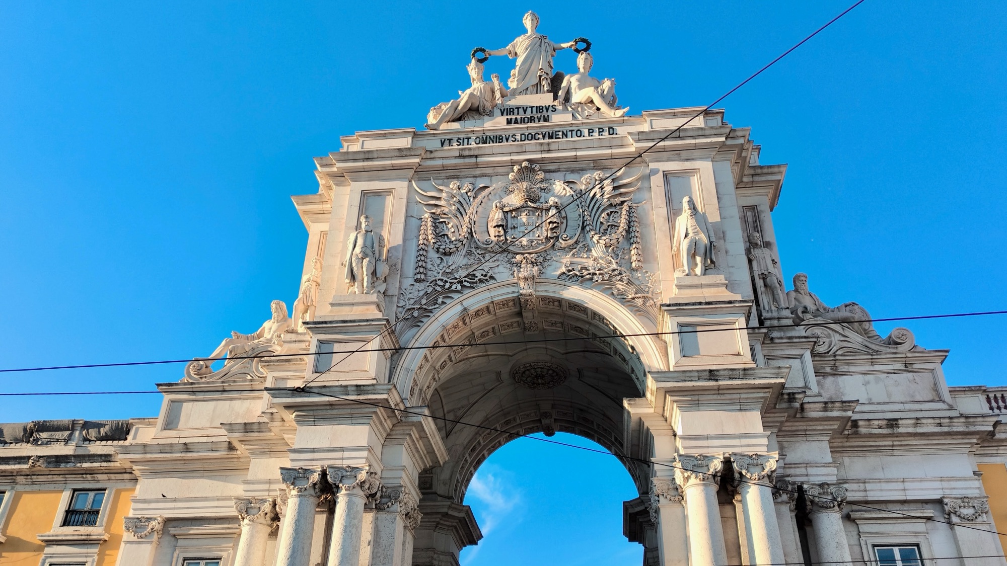
Portugal & Spain · ~610 km
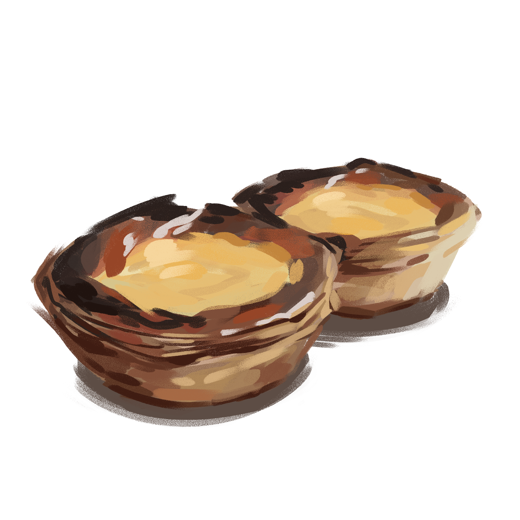
The Camino Portugués runs from Lisbon through northern Portugal and Galicia to Santiago, across coastal towns, the Minho valley, vineyards, and granite villages. A day begins with coffee and bread and ends near a pilgrim lodging. Tosta mista, galão, bacalhau, Galician octopus, scallops, and fixed-price menus follow the route.
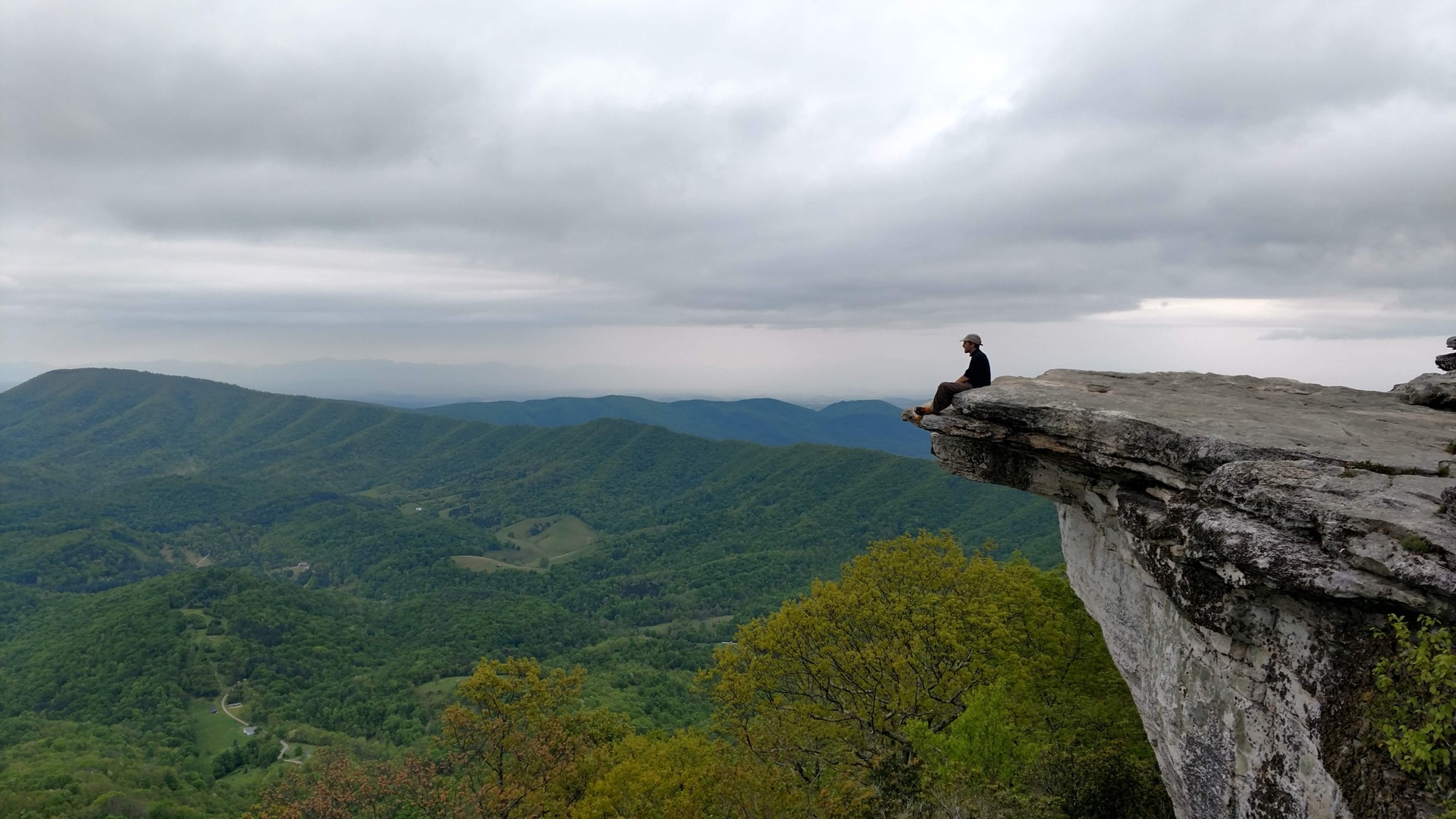
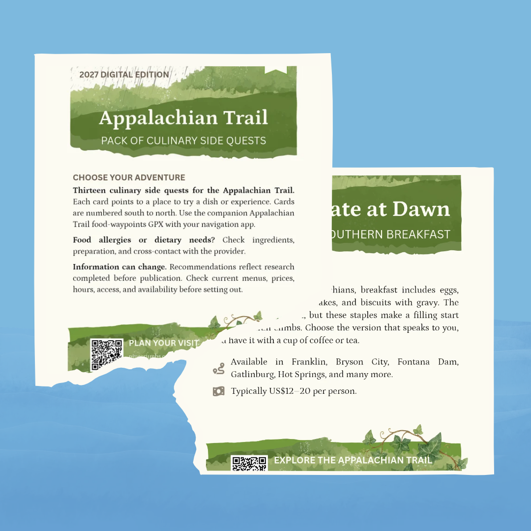
Eastern United States · ~2,190 miles
The Appalachian Trail crosses fourteen eastern states from Georgia to Maine, with five to seven months of forested ridges, rivers, shelters, and trail towns. Food moves between carried oatmeal, ramen, and peanut butter, then diners, delis, church breakfasts, mailed boxes, and wild blueberries farther north.
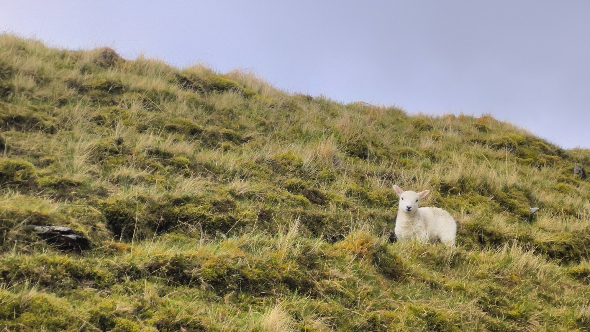
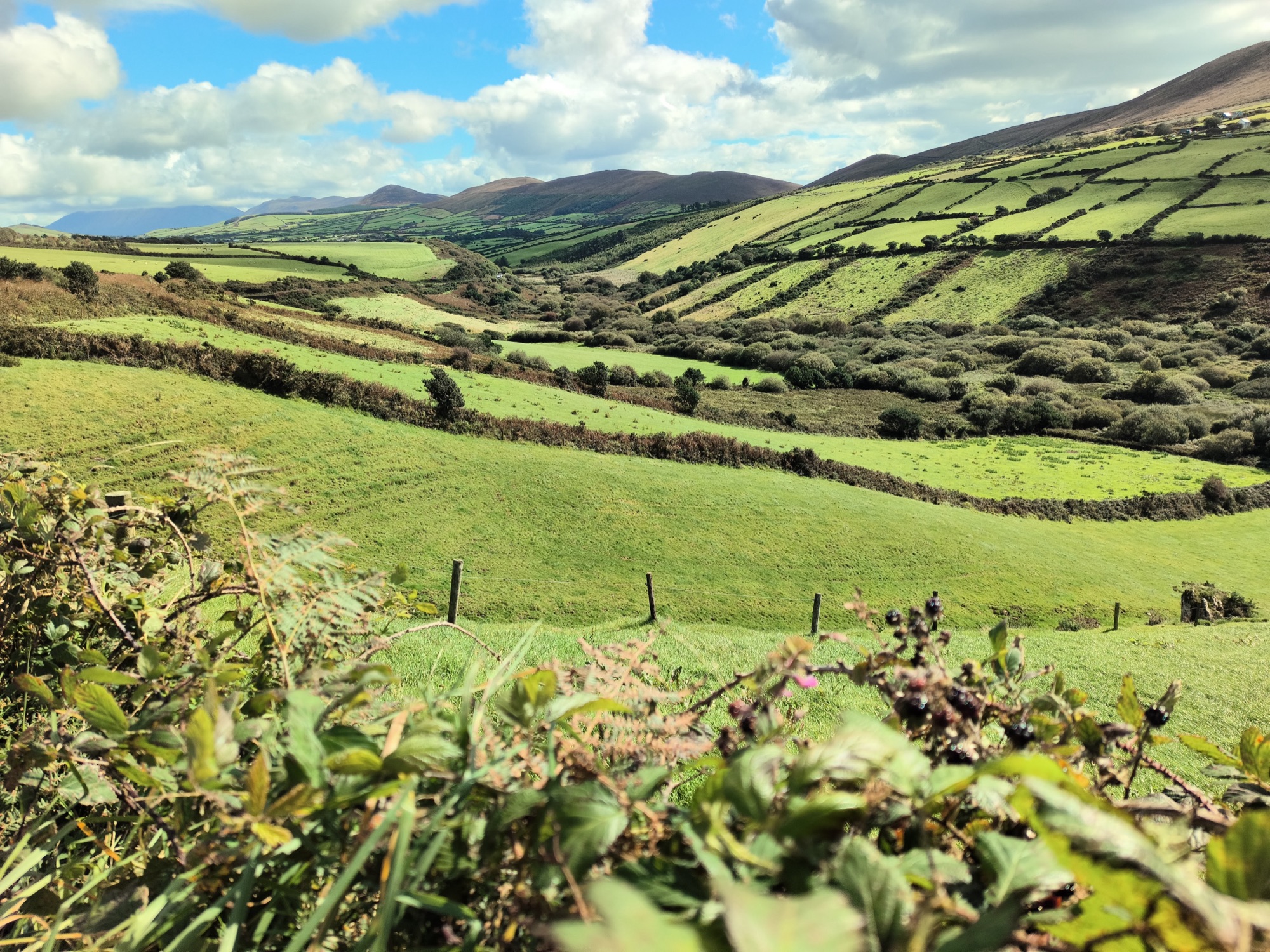
Scotland · ~202 miles
Scotland’s Remotest Pint links four Highland routes over 202 miles, from the West Highland Way to the Old Forge in Inverie. Lochs, glens, moorland, river crossings, and exposed ridges separate sparse settlements. Breakfasts, farm cafés, honesty boxes, carried provisions, and a final meal and pint mark the route’s practical rhythm.
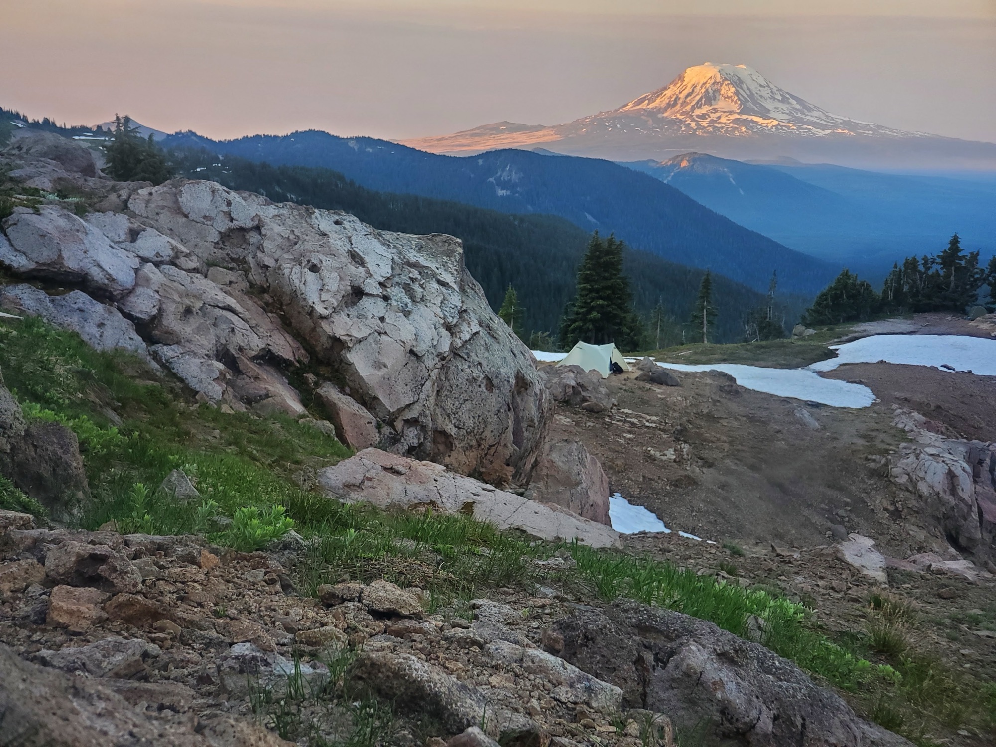
Western United States · ~2,650 miles
The Pacific Crest Trail runs from Mexico to Canada through California, Oregon, and Washington, crossing desert basins, volcanic peaks, granite passes, forests, and snowfields. A day depends on water carries, climbs, and the next resupply. Lightweight food fills the pack; towns bring diners, grocery food, and regional meals.
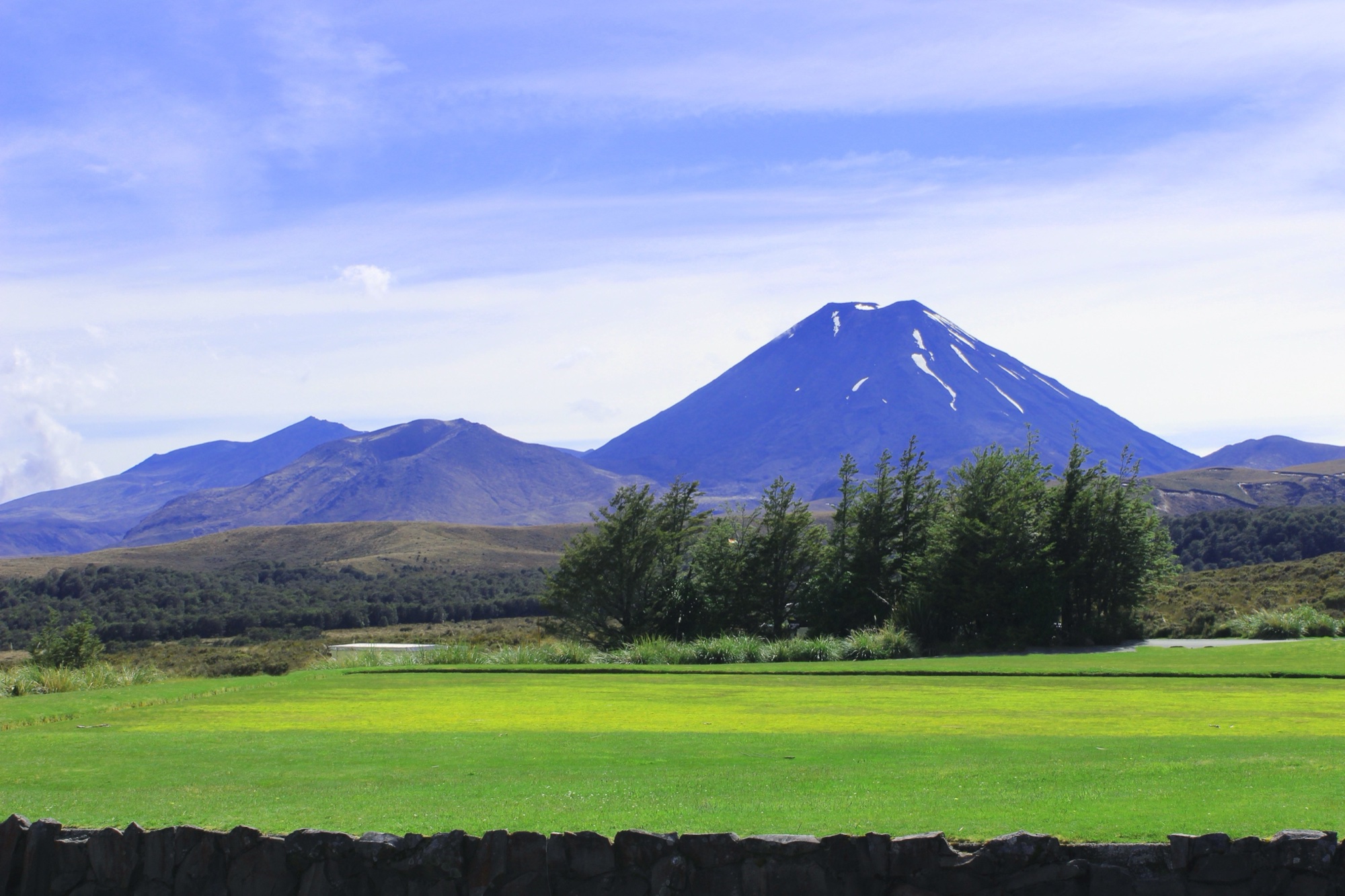
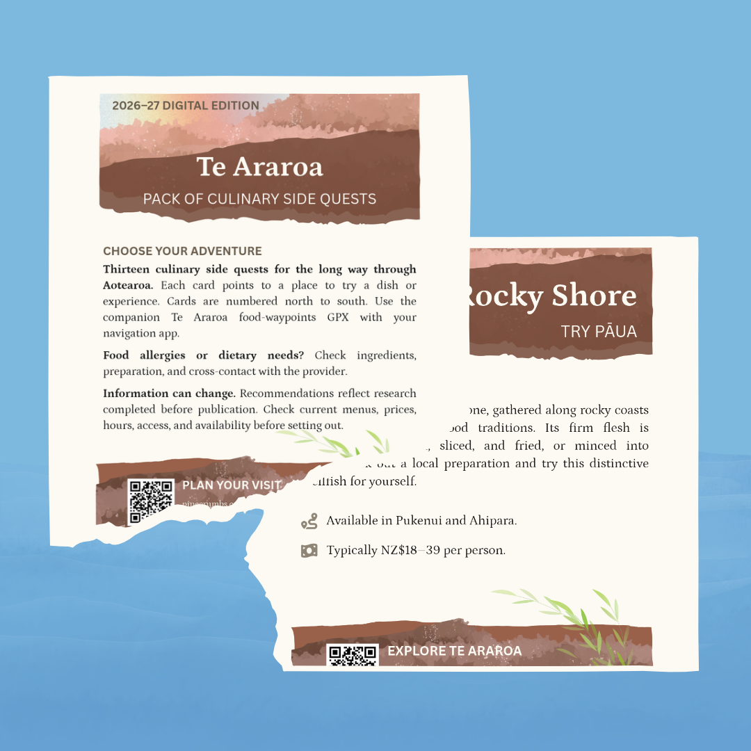
Aotearoa New Zealand · ~3,000 km
Te Araroa runs about 3,000 kilometers through Aotearoa New Zealand, from Cape Reinga to Bluff. Beaches, forests, farmland, river valleys, road walks, mountain passes, and towns shape the route. The food rhythm depends on carried provisions, resupply towns, cafés, dairies, lodges, and the occasional longer stop.