
The Route
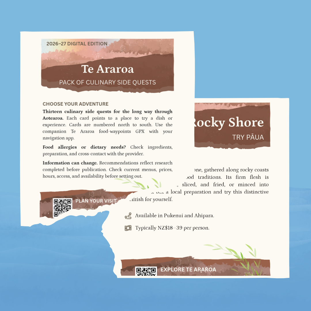
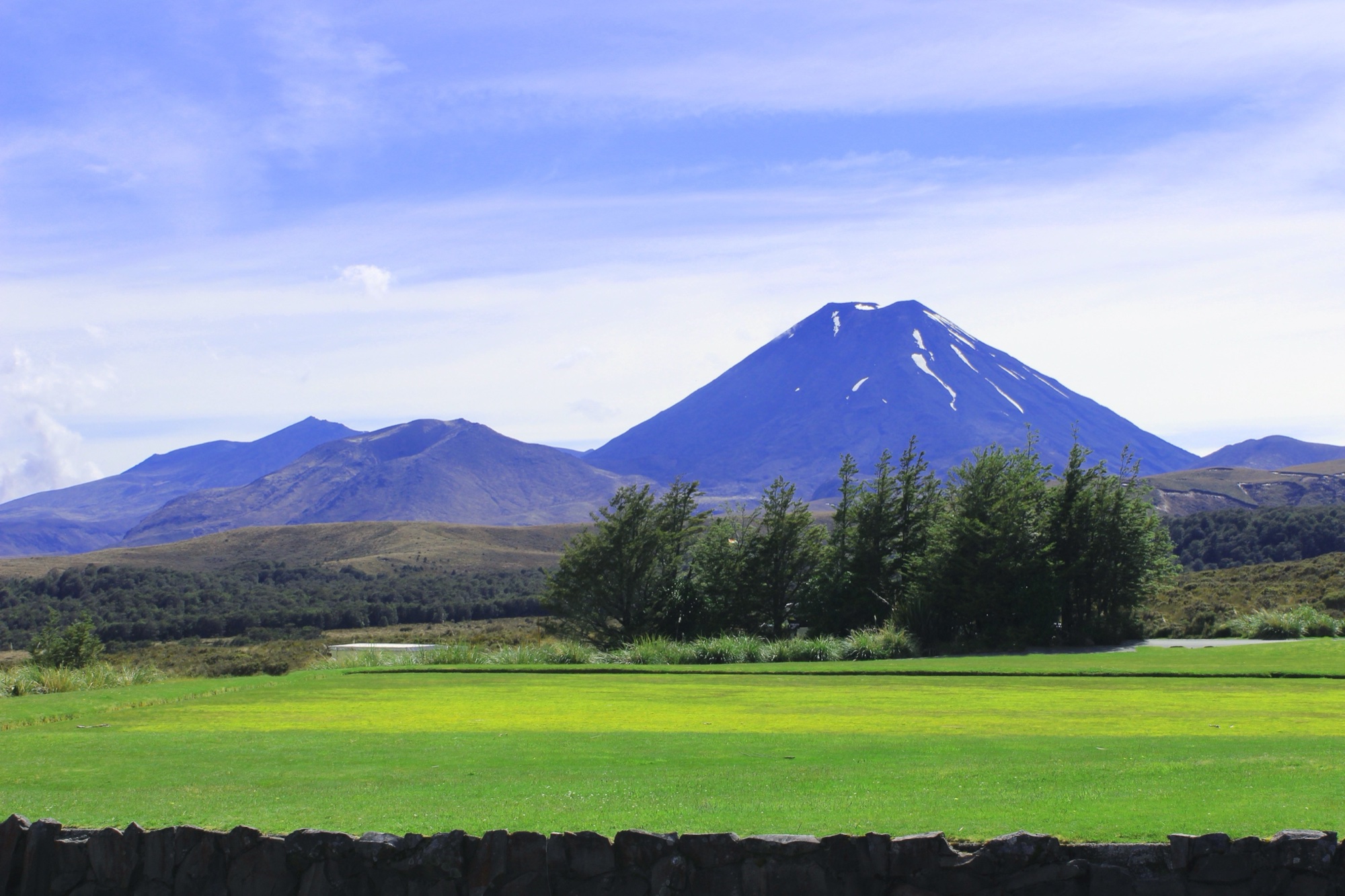
Te Araroa is a long-distance walking route through Aotearoa New Zealand, running about 3,000 kilometers from Cape Reinga in the north to Bluff in the south. The route crosses eleven broad regions in southbound order: Te Tai Tokerau · Northland, Tāmaki Makaurau · Auckland, Waikato, Whanganui, Manawatū, Te Whanganui-a-Tara · Wellington, Te Tau Ihu · Marlborough, Te Tai o Aorere · Tasman, Waitaha · Canterbury, Ōtākou · Otago, and Murihiku · Southland. Beaches, estuaries, forests, farmland, river valleys, road sections, high country, mountain passes, and towns all shape the walk. A full thru-walk generally takes four to six months. A day may involve tide timing, track conditions, road edges, river decisions, and the next reliable resupply. Food comes from carried provisions renewed in towns, cafés, dairies, supermarkets, lodges, pubs, and occasional side trips. This pinecrumbs coverage is research-based, not a firsthand trail account.
Resources
Food Guide
Aotearoa New ZealandTe Araroa is a route of food carried forward and food found when the route reaches a town. Resupply changes with the dis…
Food Map
Aotearoa New Zealand · interactiveA food map of Te Araroa: cafés, dairies, resupply stops, and meals along the route through Aotearoa New Zealand.
Have something to add?
Suggest food for the Te Araroa
Know a food stop, meal, or food tradition along this route? Send a suggestion through the food suggestion form. Pinecrumbs reviews suggestions before adding anything to the atlas.
This form is hosted by Airtable. Please do not include sensitive personal information. Pinecrumbs reviews submissions before publication. Submission does not guarantee publication, a reply, or current recommendation treatment. The form opens in a new tab.
Open the food suggestion form