
The Route
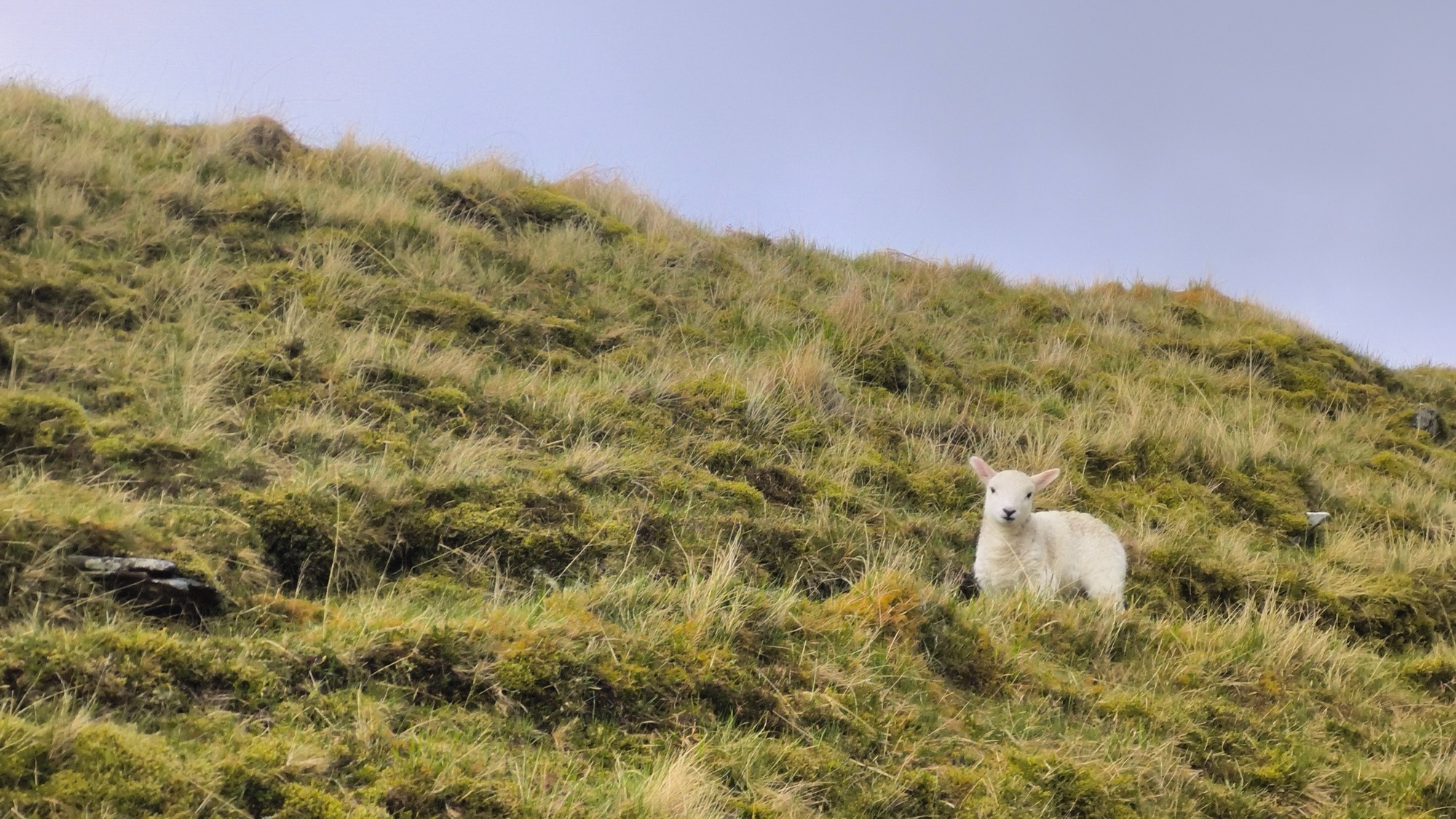
Scotland’s Remotest Pint is a 202-mile walking itinerary linking the West Highland Way, the Great Glen Way, the Affric Kintail Way, and the Cape Wrath Trail before ending at the Old Forge in Inverie. The first section follows a designated route opened in 1980 and created to give walkers a continuous way through the Highlands; older military roads and cattle-driving paths shape parts of its course. Lochs, glens, moorland, birch woods, exposed ridges, and Highland weather define the scenery, while long summer days and short, wet shoulder seasons change the experience. The full walk generally takes two to three weeks and is most often attempted from late spring through early autumn. A typical day means steady miles between sparse settlements, wet ground, river crossings, navigation, and a search for shelter or a campsite. Breakfast may be a full Scottish plate before Fort William, while lunch and dinner may come from farm cafés, honesty boxes, or occasional pubs. Beyond Fort William, carried provisions and compact meals supply the route. The final meal and pint await in Inverie.
Resources
Food Guide
ScotlandScotland's hearty fare suits a day of hill-walking in wind and rain. Cullen skink brings the taste of the nearby sea, wh…
Food Map
Scotland · interactiveA food map of the Scotland walk: pubs, Highland food culture, and meals from the West Highland Way to the Cape Wrath Trail.
GPX available
Food waypoints
Download route-specific GPX food waypoints drawn from the pinecrumbs food atlas. Use them alongside the navigation tools you already carry.
Download Scotland's Remotest Pint food waypointsThese waypoints come from published, verified, current records in the pinecrumbs food atlas. Businesses and conditions can change. Check the individual listing before travel.
How to use this file
- Download the route-specific GPX file.
- Import it through your mapping application.
- Confirm that the waypoints appear before starting the walk.
GPX is a common waypoint format. Import this file into Gaia GPS or another app that supports GPX waypoint import. App capabilities vary by version and platform.
Have something to add?
Suggest food for the Scotland's Remotest Pint
Know a food stop, meal, or food tradition along this route? Send a suggestion through the food suggestion form. Pinecrumbs reviews suggestions before adding anything to the atlas.
This form is hosted by Airtable. Please do not include sensitive personal information. Pinecrumbs reviews submissions before publication. Submission does not guarantee publication, a reply, or current recommendation treatment. The form opens in a new tab.
Open the food suggestion form